
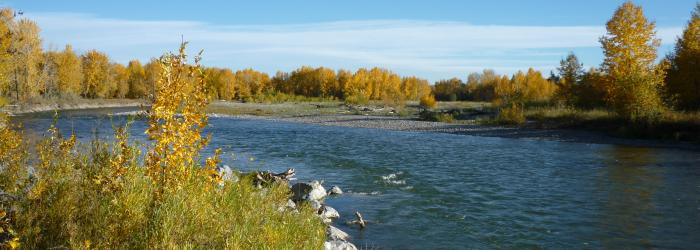
Okotoks Town Council approved the concept plan for developing the riverfront lands, purchased in 2019 and located at 370068 40 Street East (see map of area below), as presented by Administration at yesterday’s regular Council meeting. Council also directed that active transportation connections in this area be pursued.
This project will help meet long-term community needs by providing increased opportunities for access to unprogrammed leisure recreation including day use/picnicking areas, play space, disc golf, river access, and winter use activities such as a skating path and snow shoe trails. It also provides more access to one of the most valued features in our community, the river valley.
The proposed concept plan, which includes developing day use space and associated leisure recreation amenities for this area, was informed by the Town’s 2017 Recreation, Parks and Leisure Master Plan (RPLMP), the Social Wellness Framework and by Council’s Community Life Purpose Statement.
In alignment with the Town’s commitment to Truth and Reconciliation, the concept plan for this project was informed by recommendations from the Traditional Knowledge Use and Assessment Report and feedback from Indigenous stakeholders. The Town has also invited Indigenous stakeholders to recommend a name for the park.
The Town’s natural asset inventory, completed in 2020, also guided the concept planning and uses for the site which focusses on balancing conservation and respect for the area’s natural assets with complementary and respectful day use features and amenities. This park will be a tremendous addition to our community assets.
Okotoks Town Council is committed to funding this project, which will be phased over the next three years, 2022-2024. This spring, residents will be asked to provide their feedback on what amenities are the priority for installation over the phasing period. Opportunities for public input to the play space style and theme is planned to occur at a later date. More information will be provided once details are finalized.
Click button below to review map of area.
Riverfront Lands Parcel Map
Click the button below to review the concept plan.
Concept Plan